
Background
In the summer of 2014, Me and eleven other students were chosen to be part of the Kakehashi Creators program, A week long exchange to three cities in Japan to meet and learn with Japanese students and designers. Upon our return we planned and curated a show about our experience in Japan titled Tadaima: I'm Home. Below is my piece in that exhibition. To learn more about our exchange visit Massartcreators.tumblr.com

About
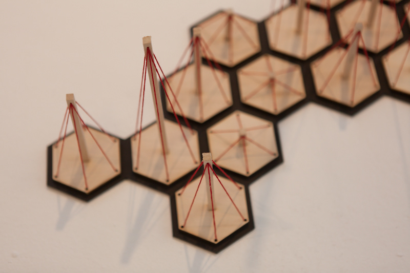
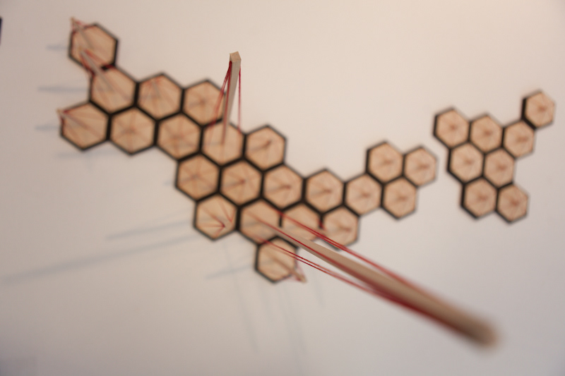
While in Japan we had the oppurtunity to visit many diverse areas of the country and I was taken back by the range in population densities. Between Tokyo and Nagoya, two of the world's most populated cities, to relatively rural areas, it was amazing to see how the change in population effected their culture. To illustrate these changes in population I created a 3-dimensional map of Japan that changes in height depending on how populated that area is.
Form Inspiration
The isometric grid used in the creation of the map was inspired by the same grid found in many traditional Japanese patterns as seen below.


Thanks to Alex Norton for the photography.


