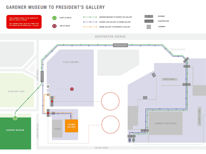
This assignment involved pathfinding to created a map that visually explains how to transport a large, unwieldy 63-inch sphere between specific locations with several waypoints in the Massachusetts College of Art and Design campus. This was a team project of 4 members who had to analyze the campus and create a print-based document that contained elements of wayfinding, user experience, sequencing, and information design all in a hierarchical sense to represent time, distance, scale, and action in the most understandable way.
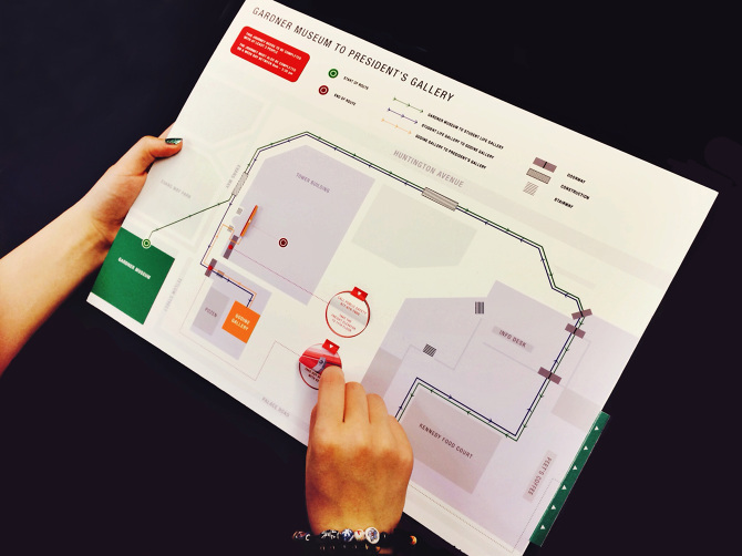
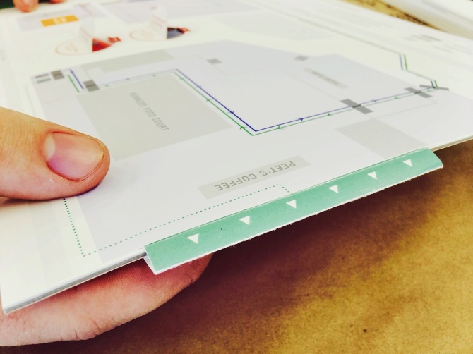
For this project, my team members and I decided to create an interactive printed map to help engage users into their journey. We used a tab language to help the users understand actions with a minimal use of words to convey our message.
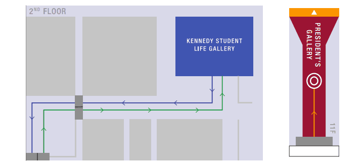
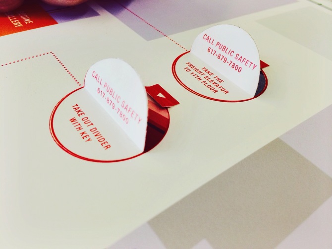
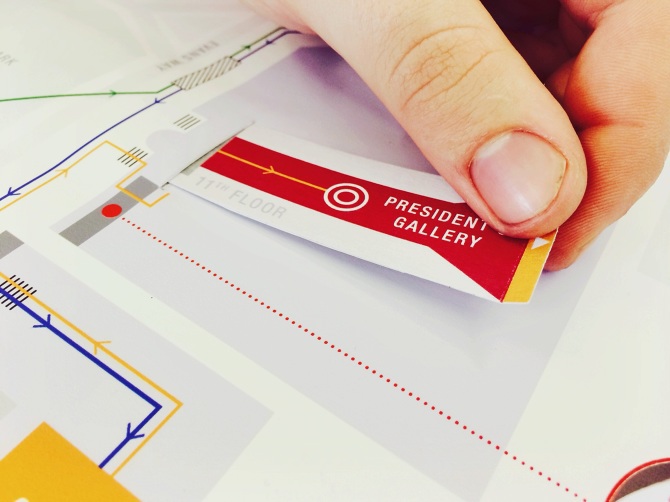
Above are close-up views of the pull out tabs representing different floors and destinations.
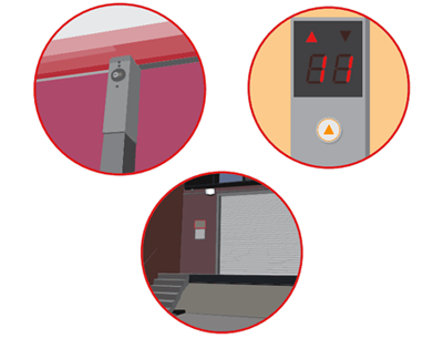
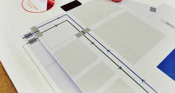
Below are part of the tabs of action. Vectored images were created to help the user visually understand.
An assignment for Brian Lucid's Information Architecture I class.
Student work for Massachusetts College of Art and Design.
Student work for Massachusetts College of Art and Design.


